Coverage tracking
Daily
Work packages show percent complete vs harbour zones.
Ports & hydrography · Hydrographic survey
High-resolution port and harbour approach survey for dredge planning and chart updates.
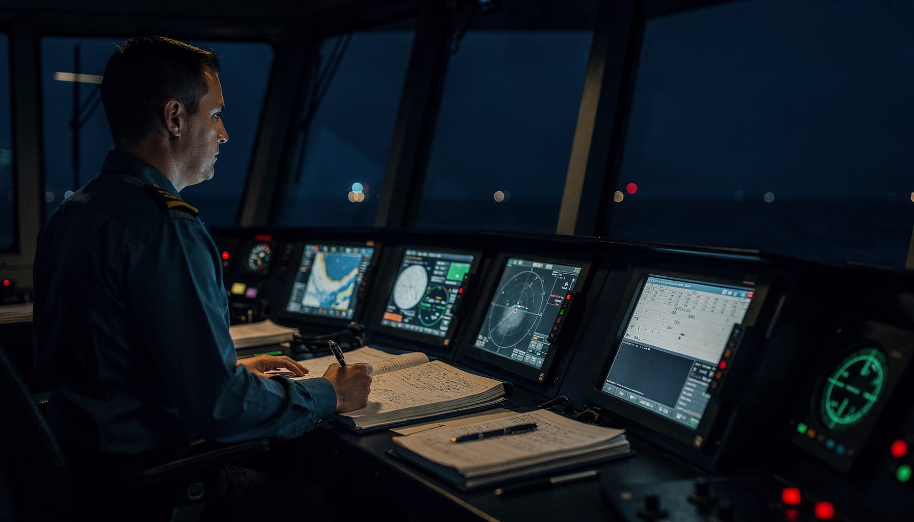
Representative challenges SurveyIQ addresses — synthetic scenario, not a client claim.
Port surveys require tight coordination with harbour control and dredge contractors.
Tidal reduction and datum confirmations are scattered across email chains.
Chart update deliverables lag behind acquisition due to manual QC spreadsheets.
Stakeholders need daily coverage maps during short weather windows.
From scope intake to deliverables — a demonstration workflow for hydrographic survey.
Upload or paste the harbour approach survey scope. SurveyIQ structures objectives, methods, and deliverables for review.
Blocking and advisory gaps are surfaced early — vessel nomination, sensor configs, reporting templates, and interface points.
Draft acquisition, HSE, marine, and reporting procedures are generated with source references for human approval.
Approved procedures become executable work packages with owners, dependencies, and readiness states.
Offshore teams work from one project truth — department cards, stop-work awareness, and today's plan.
Department logbooks capture events, downtime, QC snapshots, findings, and DPR source notes in real time.
Daily progress reports and final deliverables are assembled from verified project facts, not end-of-shift reconstruction.
Illustrative metrics for demonstration — not measured client results.
Coverage tracking
Daily
Work packages show percent complete vs harbour zones.
Tidal audit
Indexed
Datum and gauge records linked to processing QC.
Chart issue readiness
Checklist-driven
REP procedure defines QC gates before release.
Harbour coordination
Marine logbook
Pilot and traffic events captured for DPR context.
Work packages and DPRs can report coverage progress against harbour approach zones.
Tidal observations and datum confirmations are indexed in department logbooks.
No. Harbour Approach Bathymetric Survey is a fictional representative example.
Book a demo, send a scope of work, or watch the product overview — all synthetic examples, no client data required.